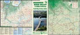
The Traverse City area hosts hundreds of miles of non-motorized trails and this map includes just about all of them. On side two, a complete guide to...
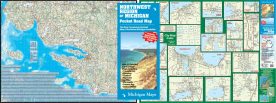
Northwest Michigan Pocket Map
The coverage area of the Northwest Michigan Pocket Map extends from Manistee to Mackinaw City along Lake Michigan and over to the I-75 corridor on...
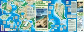
Sleeping Bear National Lakeshore Pocket Map
An indispensable companion for your Sleeping Bear adventure, this map includes detailed break-out maps of all the National Lakeshore trails laid out...
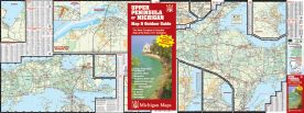
Upper Peninsula Pocket Map
The Upper Peninsula is a big place. We put the west side on one side, and the east side on the other—with adjacent break out maps of the major towns...
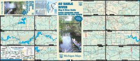
Au Sable River Map & River Guide
This map follows the Au Sable River from Grayling to the shore of Lake Huron in 13 highly detailed panels—including the North and South Branches...
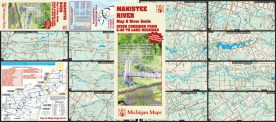
Manistee River Map & River Guide
This map follows the great Manistee River from the bridge at County Road 38 east of Mancelona all the way to the city of Manistee on the shores of...

