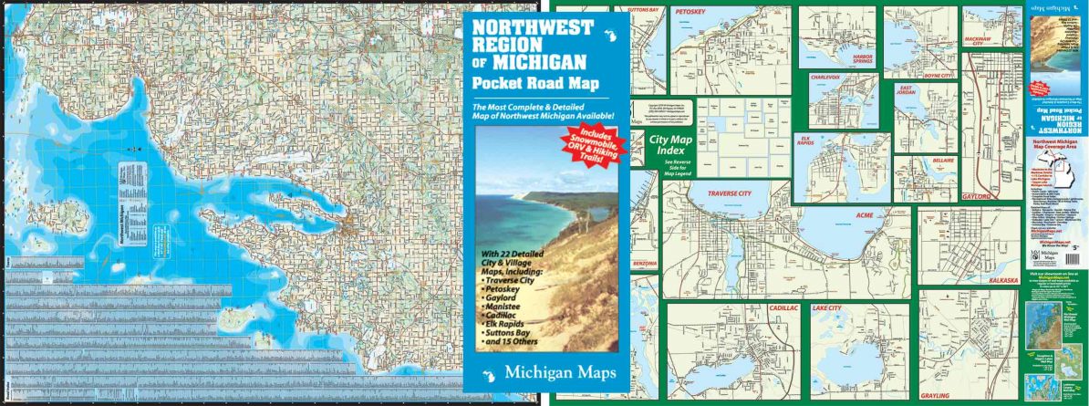
The coverage area of the Northwest Michigan Pocket Map extends from Manistee to Mackinaw City along Lake Michigan and over to the I-75 corridor on one sheet of paper. Believe it or not, you can still read it, and every road name and town is in an alphabetical index and coded to a grid for easy location. The back side is a collection of breakout maps of the 22 most prominent towns in the region (by our reckoning): Traverse City, Petoskey, Gaylord, Cadillac, Manistee, Grayling, Charlevoix, Kalkaska, Frankfort, Etc. Snowmobile trails, ORV trails, Rail/Trails, and all the relevant trailheads, boat launches, parks, campgrounds, and other features are on there. Open and public lands are colored to contrast with the background for the hunters and gatherers. Latitude and longitude lines allow you to pinpoint areas by use of your GPS (not included, nor are the batteries). Township lines, county lines, all the boundaries for the politically inclined. The indispensable glove box map for outdoor fun in our backyard.
Map size is 27 ” x 36″ open, 4″ x 9″ folded.
Item # – NWMIPK – $6.00