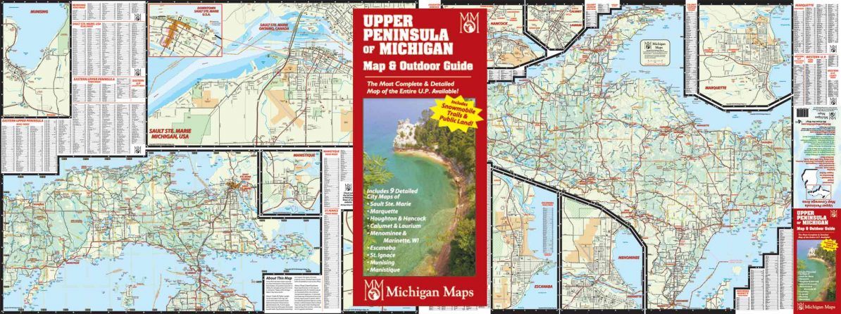
The Upper Peninsula is a big place. We put the west side on one side, and the east side on the other—with adjacent break out maps of the major towns. All on one sheet in local road level of detail. The map includes road and town indexes in alphabetical order and coded to a grid for easy location. The principle recreational features and points of interest, such as public lands, snowmobile trails, state parks, public campgrounds, boat ramps, and recreational trails (as scale allows), etc., etc. are noted. City break out maps include: Sault Ste. Marie, Marquette, Menominee, Houghton/Hancock, Escanaba in the daylight, Etc.
Map size is 27 ” x 36″ open, 4″ x 9″ folded.
Item# – UPMIPK – $5.00