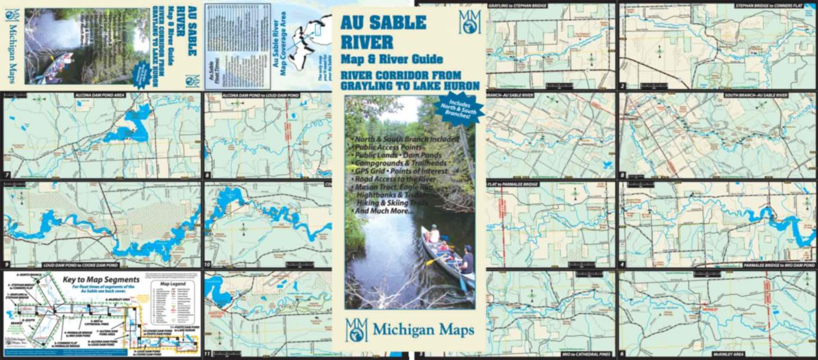
This map follows the Au Sable River from Grayling to the shore of Lake Huron in 13 highly detailed panels—including the North and South Branches. Each panel covers a stretch of this famous river in detail—public lands, public accesses, ramps, campgrounds, trailheads, road accesses to the river, cultural sites and more. Even the USFS roads and riverside campsites are identified. Latitude and longitude lines allow you to locate your gps reading on the map. We include a table of paddle times for the most traveled parts of the river. In other words, if you are planning to explore the Au Sable by land (car) or water, this is a must-have item. Full disclosure—we sell to paddlers and anglers alike!
Map size is 4″ x 9″ folded, 18 ” x 16″ open.
Item# – ASRVPK – $5.00