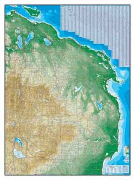
From the eastern tip of Drummond Island to the western boundary with Wisconsin—the entire Upper Peninsula of Michigan, whole and intact, on one map...

Tip of the Mitt
I had a 17′ x 13′ print of this map hanging in my Elk Rapids showroom for several years and the kids, especially, just loved it. I kept a...

Northwest Michigan – Public Land
We offer two similar maps of Northwest Michigan, this one is the practical one. It shows public and open lands, so it appeals to the hunter, angler...

Northwest Michigan in Physical Relief
We offer two similar maps of Northwest Michigan, this one is the pretty one. It shows physical relief and lake depths, so it appeals to the closet...

Northeast Michigan – Public Land
We offer two similar maps of Northeast Michigan, this one is the practical one. It shows public and open lands, so it appeals to the hunter, angler...

Northeast Michigan in Physical Relief
We offer two similar maps of Northeast Michigan, this one is the pretty one. It shows physical relief and lake depths, so it appeals to the closet...

